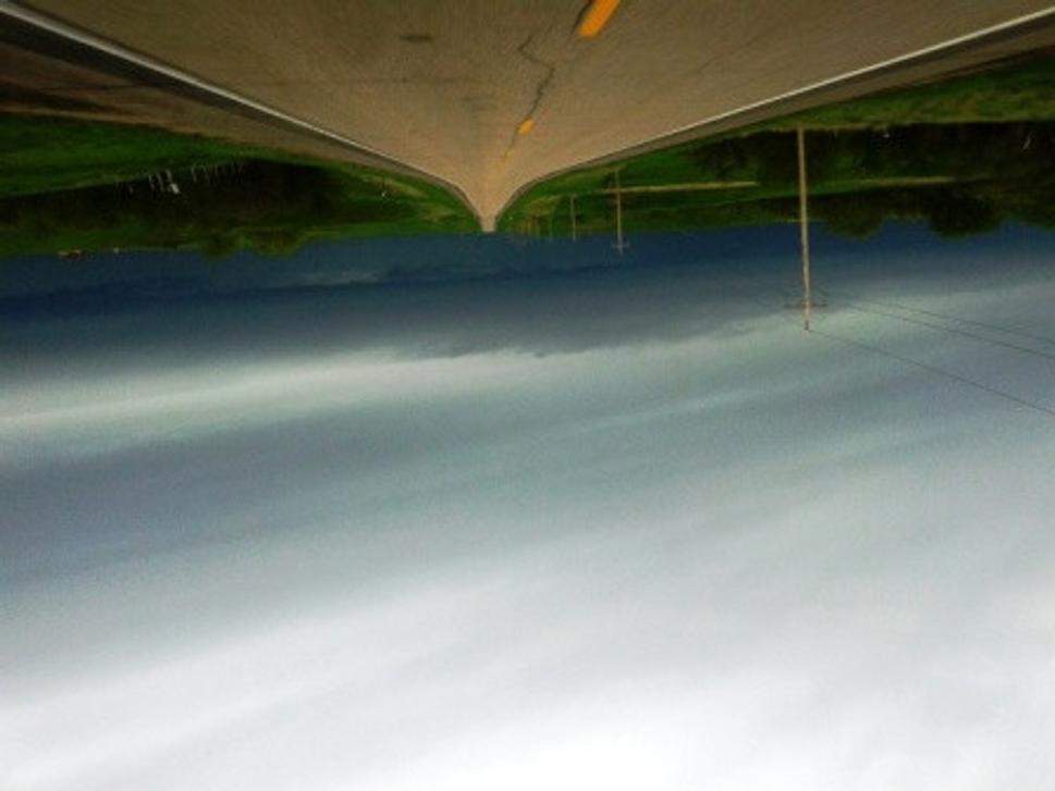
View on the black sky west of the town Eagle Butte on the road 212. Eagle Butte is a capital of the Indian tribes of the Lakota nation...
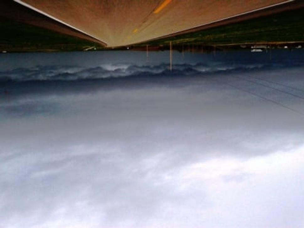
Heavy clouds low in the sky evoked a sense of the dramatic situation in the country. It has truly been so...
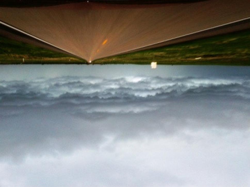
Part of the clouds has already rained out and increased the adrenaline rush, with the thoughts of what has happened to the water in the country...
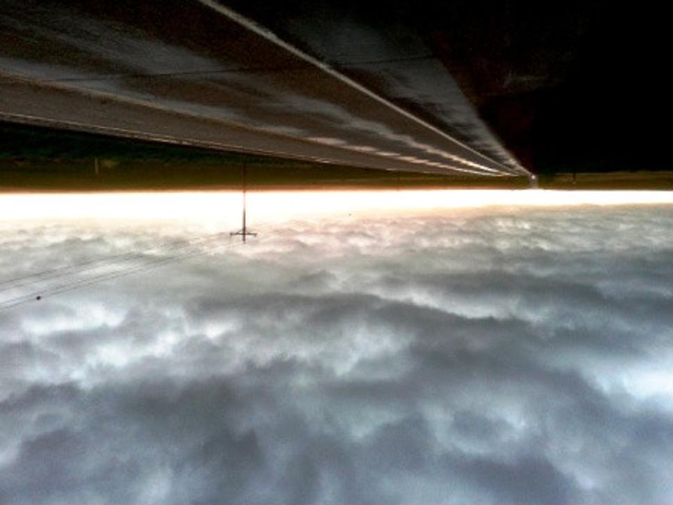
A look into the driving mirror showed dramatic boundary-line in the clouds...
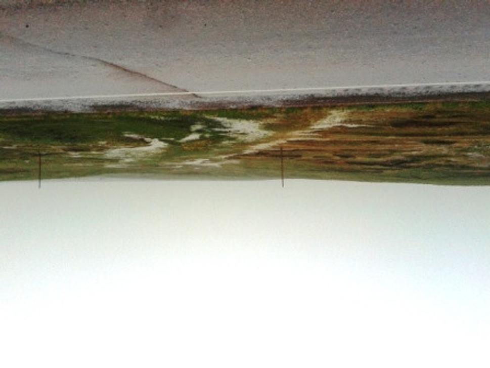
...rain water running off the run-off areas and in the car tracks made in the landscape...
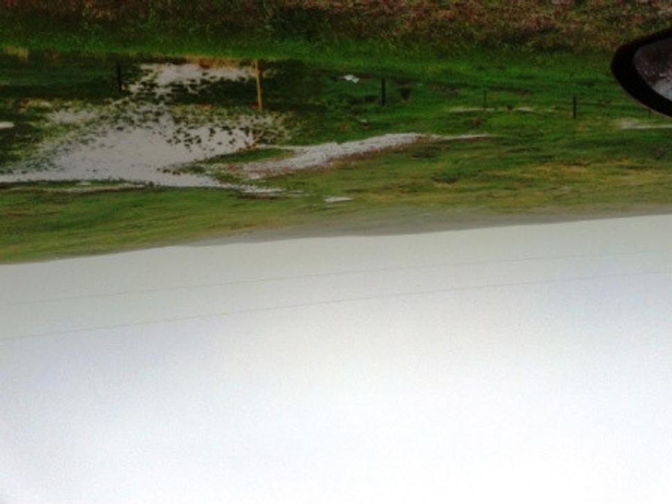
...and of course the rain water was concentrating in each ravine, to the lower parts and down to the trenches...
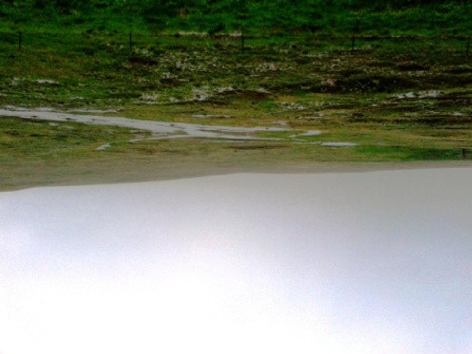
... water was running off from each side...
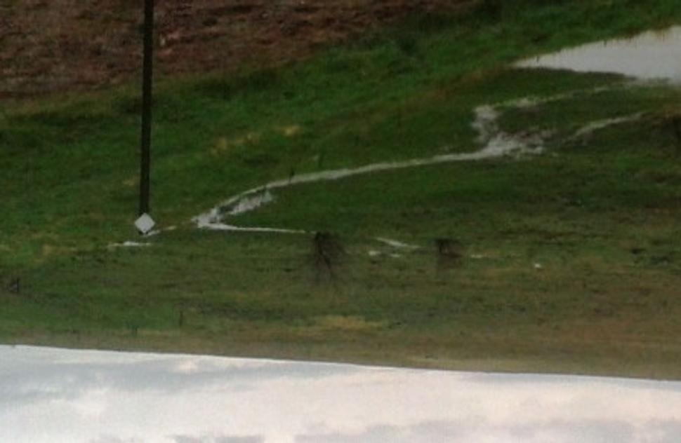
... into the nearest creek...
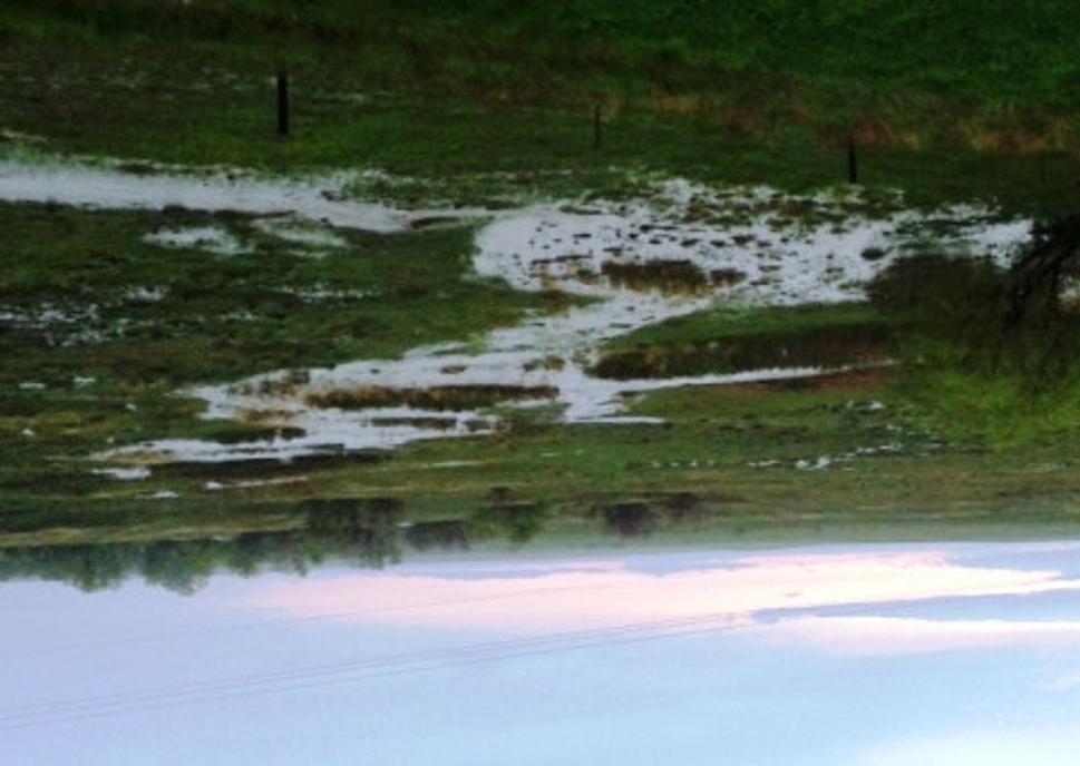
I have never seen pastures with such water run-off in Slovakia. Clear evidence, that it rained a lot...
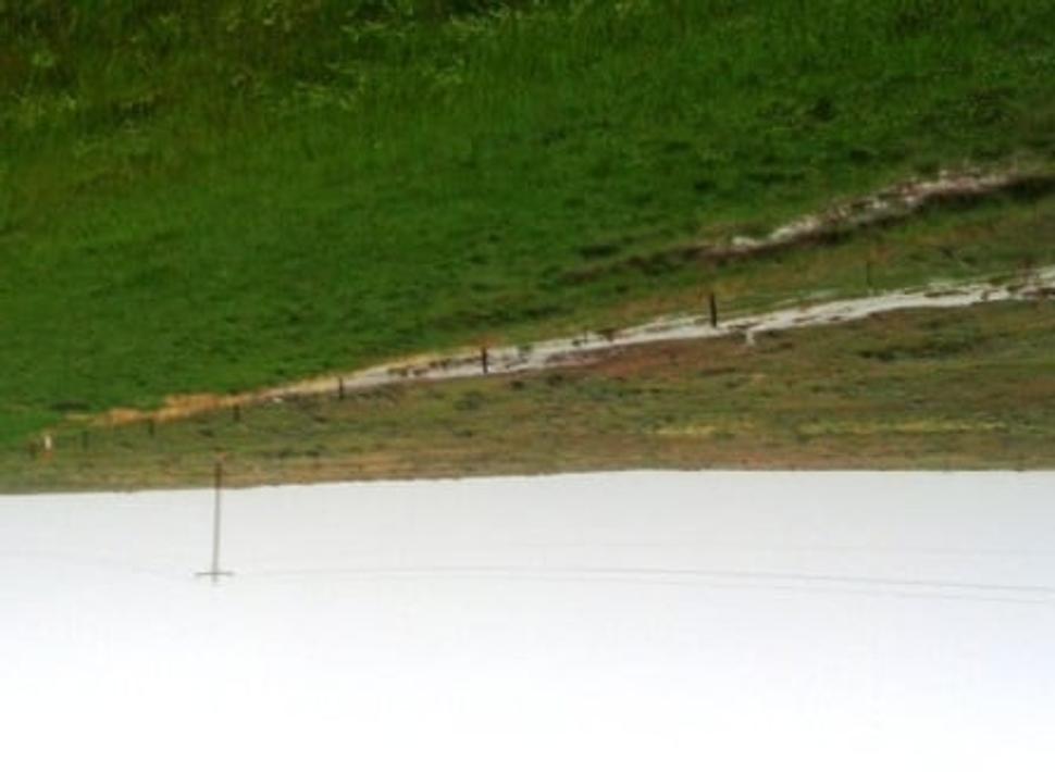
Car tracks and tracks made by heavy machinery were turned into small streams...
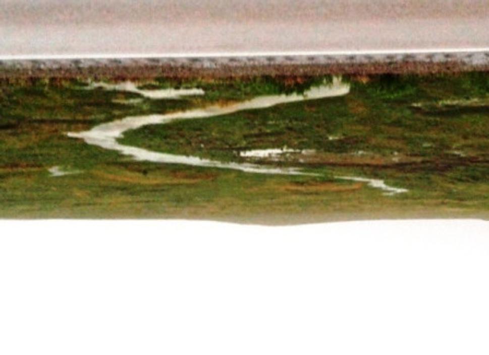
...and created a strong flow of running water...
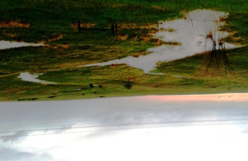
...it’s hard to imagine this places during drought, and believe that so much water can flow there ... .
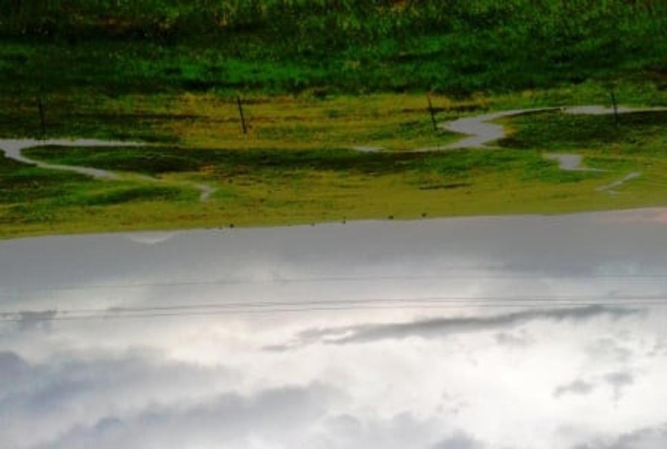
...and not with a stream...
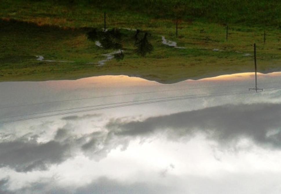
...trenches with running water just couple of meters apart...
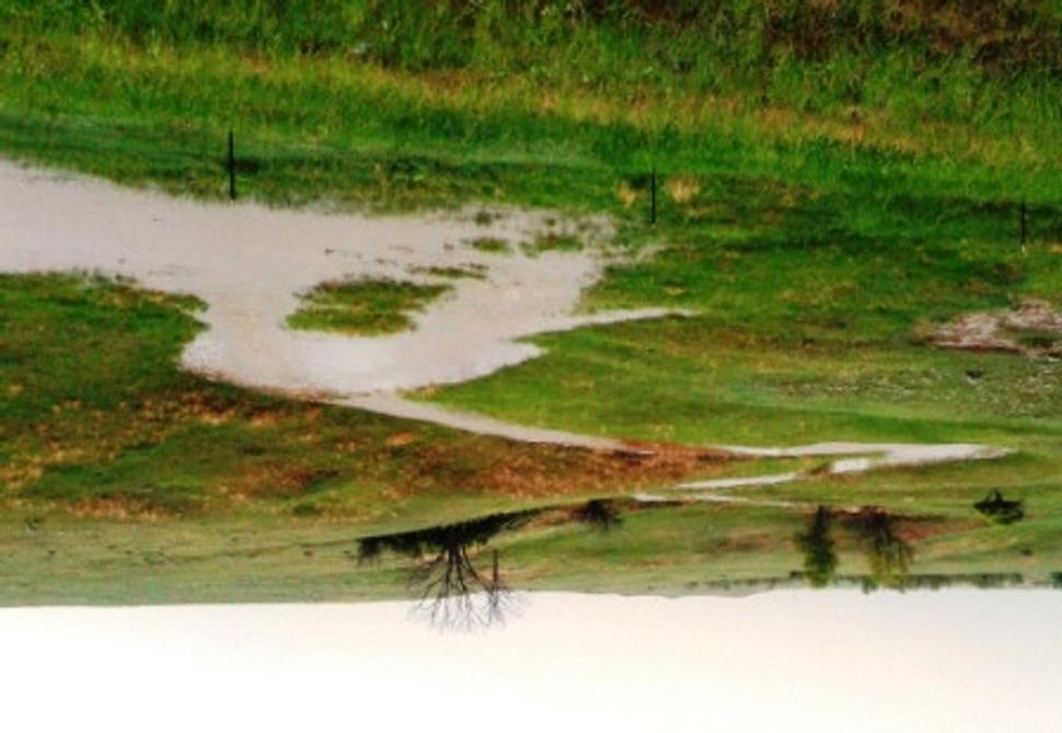
...an a meandering stream, dry for the most part of the year...
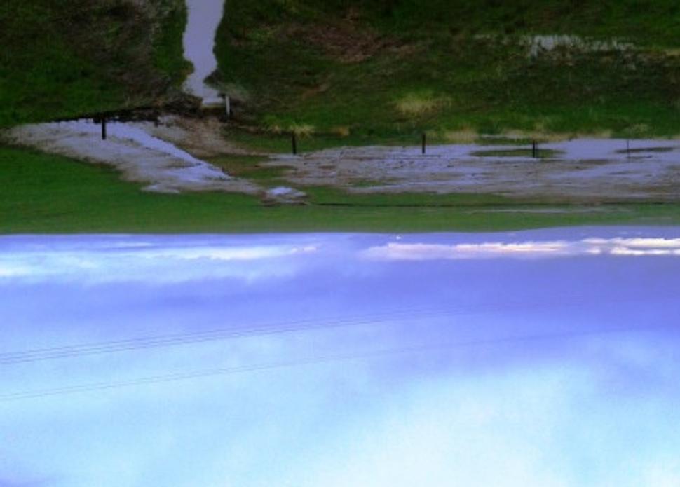
A fence on the land boundary slowed down the rain water run-off and created a temporary pond where eroded soil sediment. Maybe a place for researchers, how the spatial soil structure is created…
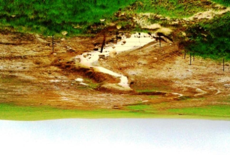
Where rain water run-off concentrated, deep erosion occurred...
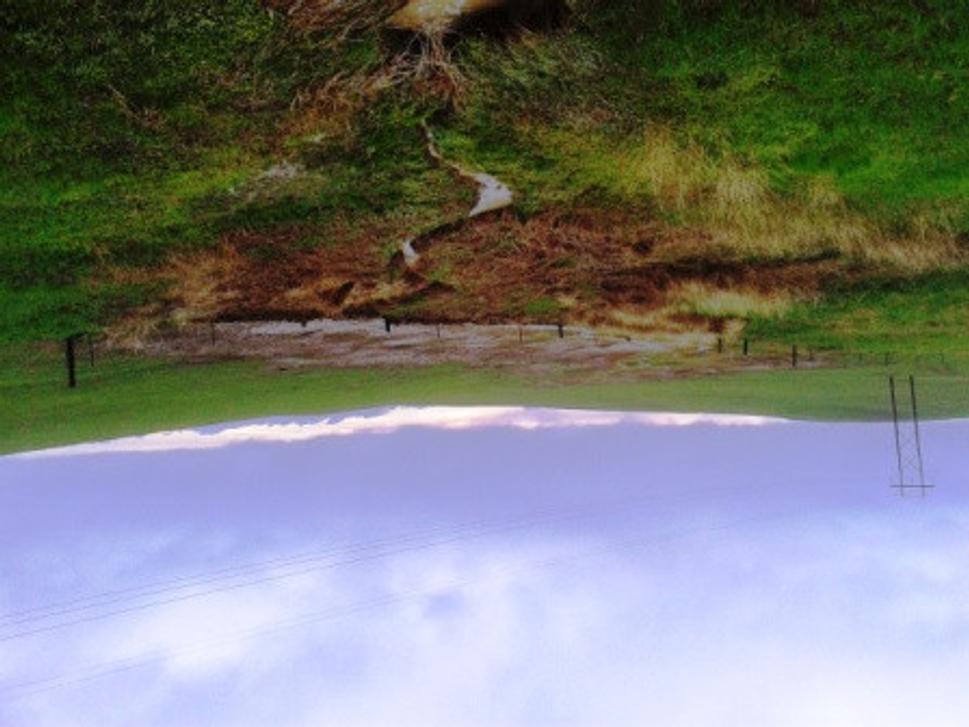
...a biomass collected on a fence on a land boundary created a pond, which caused erosion after it was emptied...
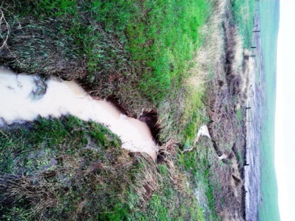
Streams of rain water running off the agricultural land caused deep erosion. Flat lying grass shows that the peak flow culmination was much higher...
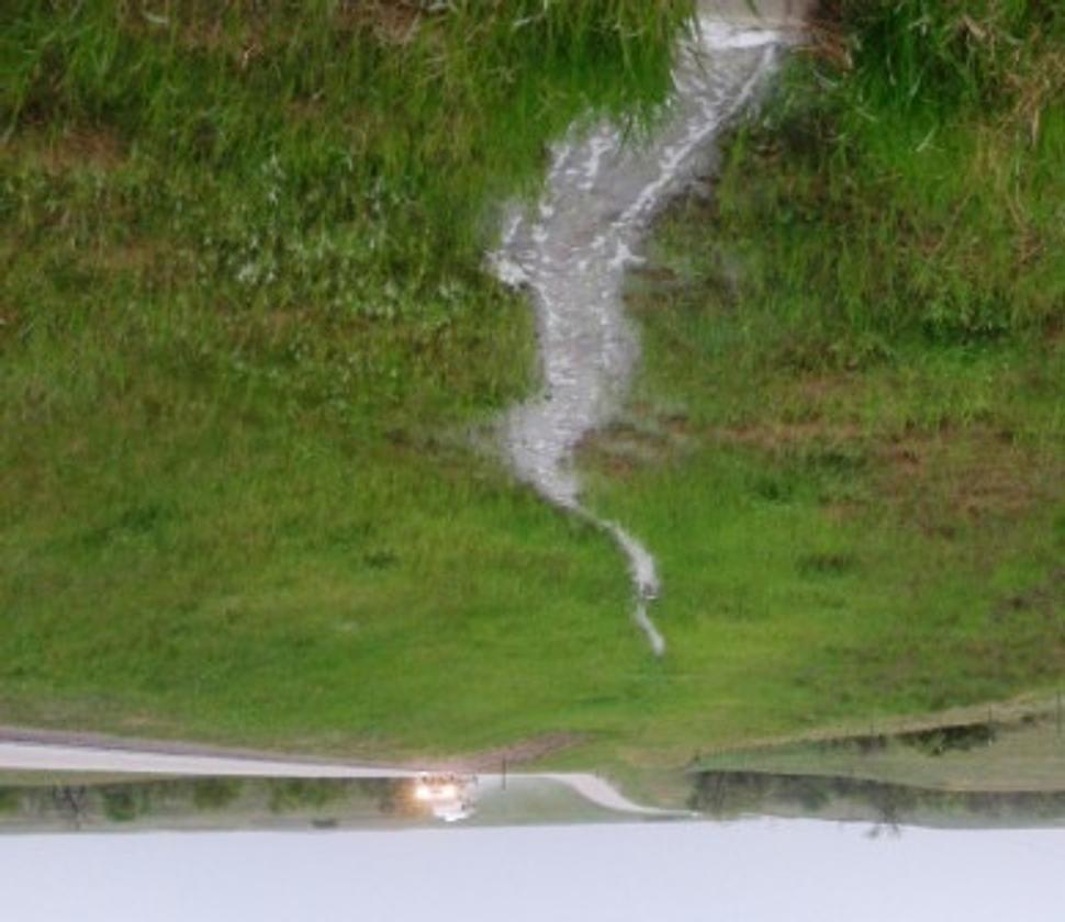
Man made ditches along the roads contributed to the water run-off...
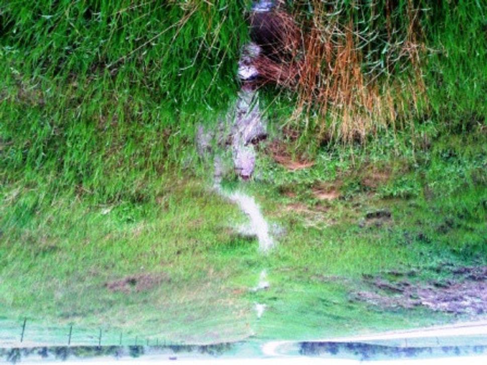
Only streams created also by human activity...
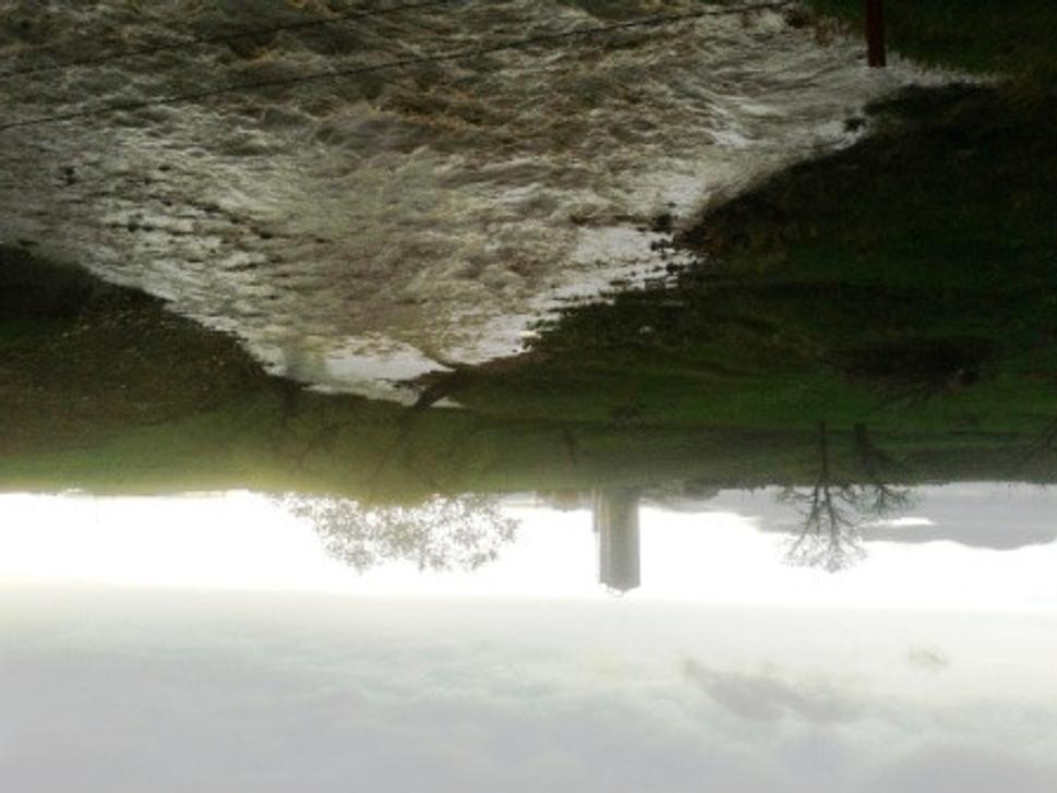
...and here, the water is concentrated in a stream...
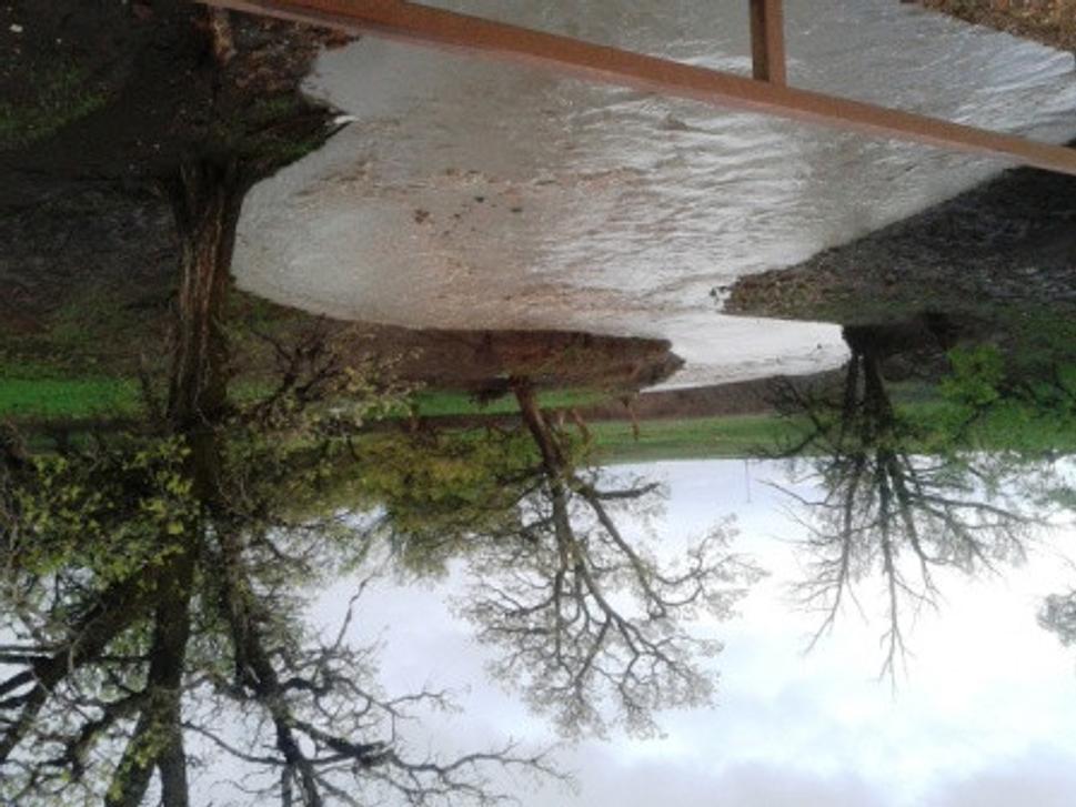
...a precious liquid running-off will be missing on the farms during drought period. Just to remind, that this stream is west of Eagle Butte, aproximately140 miles from Black Hills. Based on my estimation, the flood peak culminated four hours ago...
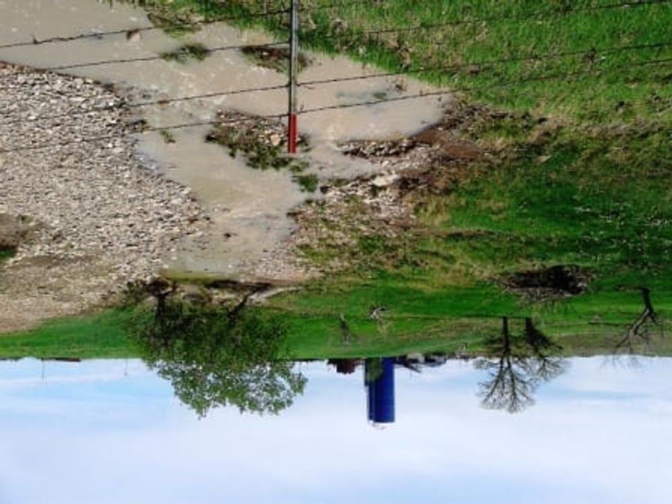
The next day I went back the same way to witness and document nearly dry streams...
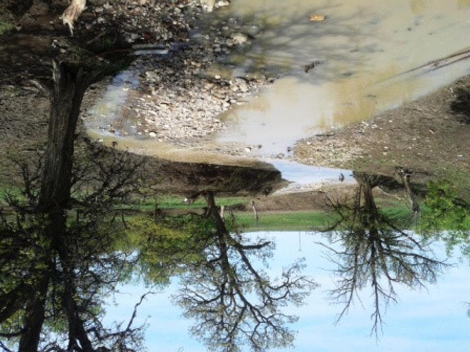
Not even 15 hours passed from the flood...
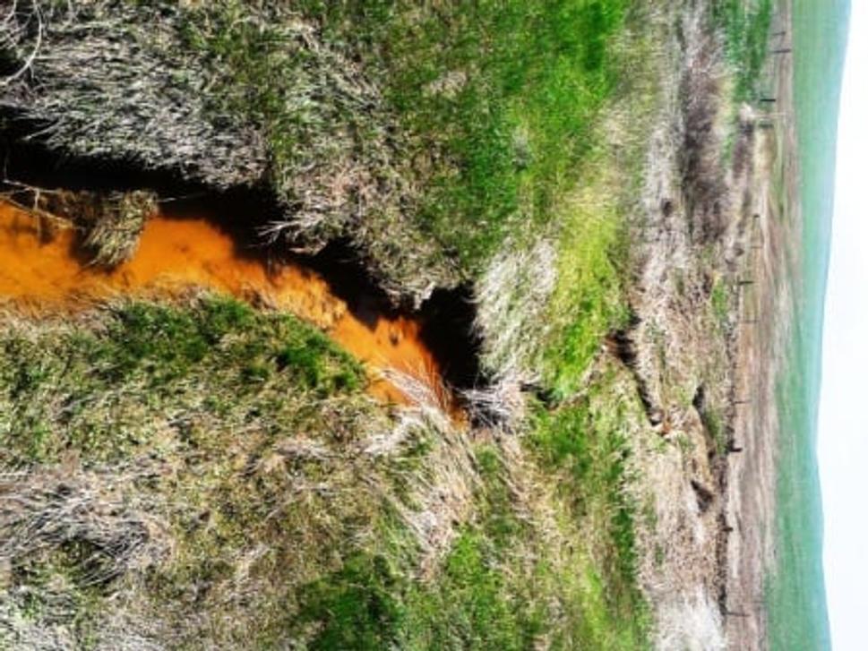
All rain water is gone, only some is left in the erosion washouts...
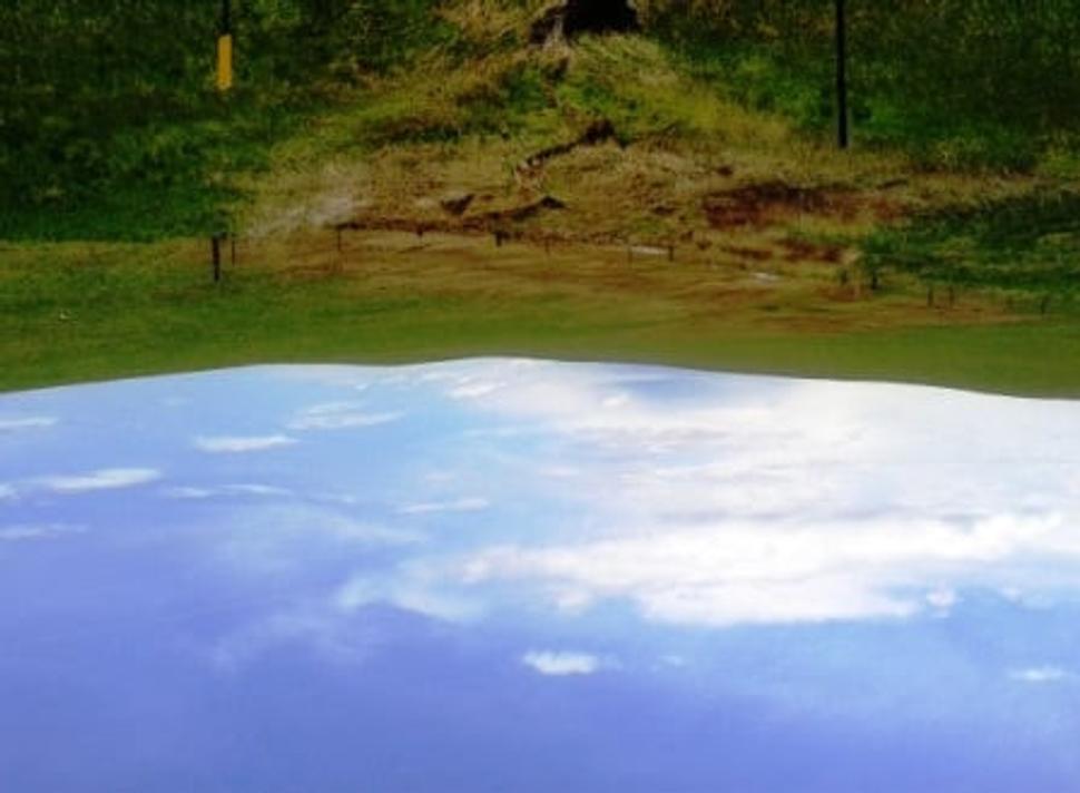
...and none on the fields. Dry day after...
Summer is coming and with it drought, accompanied by heat wawes and potentially with tornadoes. The evening before departure I heard on TV that on Monday, 27 May it rained between 3 -6 inches in South Dakota, which by the way is 20 to 30% of annual precipitation totals. I estimate that half of the water had run-off from the territory of South Dakota and will certainly be missing in the drought period.
Presumably they will have to fundamentally rethink strategy of water resources protection. From the principle to get is away as soon as possible to the principle of its effective detention. This might avoid floods, droughts and climate change. If they do not more floods, droughts, tornadoes and lack of food for the cattle on the farm should be awaited.


